FAA PART 107 REMOTE PILOT
Learn the airspace. Prepare to fly professionally.
Study the knowledge areas tested by the FAA, complete a knowledge check after every lesson, then measure readiness with three timed practice exams.
This course does not issue an FAA certificate, replace the official UAG knowledge test, provide airspace authorization, or authorize any flight. Always verify current FAA rules before operating.
INTERACTIVE JOB PRACTICE
Preflight Inspection Simulator
Inspect a fictional drone mission, identify unsafe conditions, and decide whether the aircraft is ready to fly.
Operating areaAircraftBatteryControl linkCrew briefingGo / no-go
From learner to certificated remote pilot
COMPLETE COURSE LESSONS
0/10 completeLearn, apply, and check your understanding
Open a lesson, study every section, then answer its knowledge check correctly to mark it complete.
1Certificate and Part 107 basics
Eligibility, testing, registration, recurrent training, and the remote pilot's authority.
Certificate and Part 107 basics
Eligibility, testing, registration, recurrent training, and the remote pilot's authority.
- Explain who needs a Remote Pilot Certificate
- Describe the certification path
- Identify the remote PIC's responsibility
When Part 107 applies
Part 107 is the main federal rule for civil small unmanned aircraft operations that do not qualify for another operating framework. It commonly applies to photography, inspections, mapping, public-safety support, real-estate work, roof inspections, agricultural imaging, and other business or non-recreational missions.
The reason for the flight—not whether money changes hands—helps determine which rules apply. A flight conducted for a business purpose may fall under Part 107 even when the pilot volunteers or receives no payment.
How certification works
A first-time applicant must meet FAA eligibility requirements, obtain an FAA Tracking Number through IACRA, schedule the Unmanned Aircraft General–Small knowledge test, pass it, and complete the certificate application. The FAA then performs the required security vetting before issuing the certificate.
The official UAG test contains 60 questions, allows two hours, and requires a score of 70 percent. Passing the test demonstrates aeronautical knowledge; it does not grant permission to ignore airspace restrictions or other operating rules.
The remote pilot in command
Every operation must have a designated remote pilot in command. The remote PIC is directly responsible for the operation and has final authority to decide whether the aircraft, weather, location, crew, and mission are safe.
The certificate does not expire, but knowledge currency must be maintained through the applicable FAA recurrent training every 24 calendar months. The remote PIC must be able to present the certificate and identification when properly requested.
Incomplete
Pass the knowledge check to complete this lesson.2Operating rules and limitations
Altitude, speed, visibility, visual line of sight, right-of-way, and operating locations.Locked — complete previous lessons
Operating rules and limitations
Altitude, speed, visibility, visual line of sight, right-of-way, and operating locations.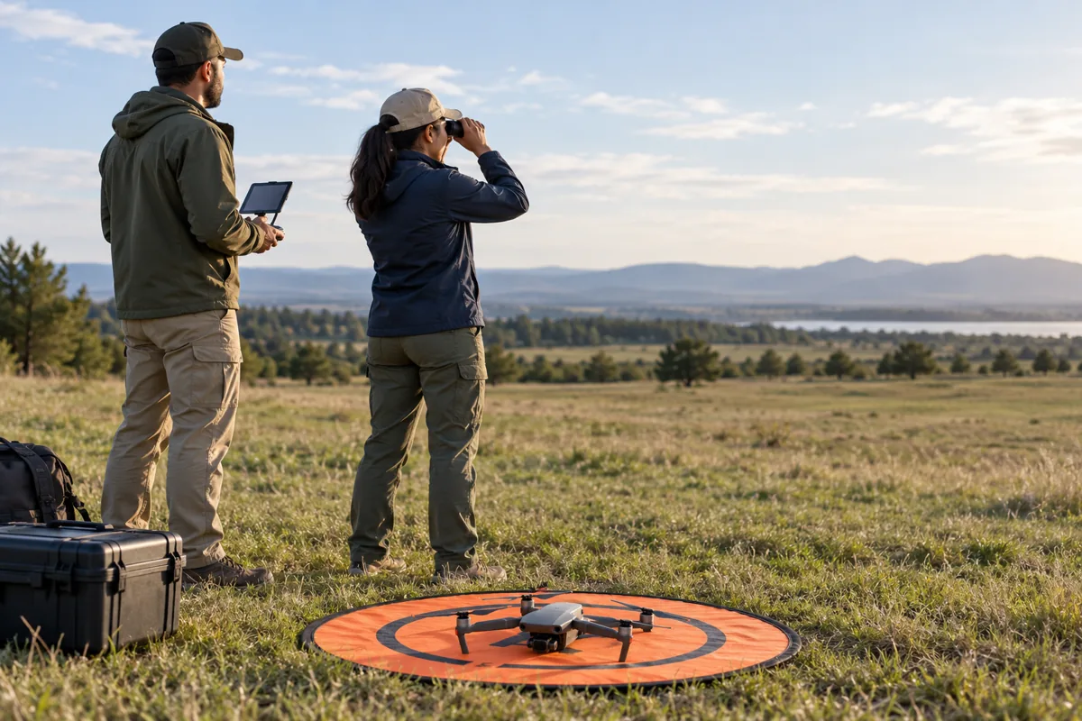
- Recall core numerical limits
- Apply visual-line-of-sight rules
- Recognize operations that need special approval
Core flight limits
The normal maximum altitude is 400 feet above ground level. When inspecting a structure, a drone may operate higher only while remaining within 400 feet of that structure and no more than 400 feet above its immediate uppermost limit. Always consider nearby controlled airspace separately.
Maximum groundspeed is 87 knots, or 100 mph. Flight visibility must be at least 3 statute miles from the control station. The aircraft must remain 500 feet below clouds and 2,000 feet horizontally from clouds.
See, avoid, and yield
The remote PIC, person manipulating the controls, or a designated visual observer must be able to see the aircraft throughout the operation with unaided vision other than corrective lenses. A camera feed is useful, but it does not replace visual line of sight.
Small UAS must yield to every other aircraft. Never pass over, under, or ahead of another aircraft unless well clear. The remote PIC must stop, descend, or maneuver away early enough to prevent a collision hazard.
Special operating situations
A person may not act as remote PIC or manipulate the flight controls for more than one small UAS operation at a time. Carriage of hazardous material is prohibited. Objects may be dropped only when doing so creates no undue hazard.
Operating from a moving land or water vehicle is allowed only under limited conditions, including operation over a sparsely populated area. Transporting another person's property for compensation or hire adds further restrictions. When the rule does not allow the planned operation, determine whether an FAA waiver is available.
Incomplete
Pass the knowledge check to complete this lesson.3Airspace and authorization
Classes B, C, D, E, G, LAANC, TFRs, NOTAMs, and special-use airspace.Locked — complete previous lessons
Airspace and authorization
Classes B, C, D, E, G, LAANC, TFRs, NOTAMs, and special-use airspace.
- Separate controlled from uncontrolled airspace
- Know when authorization is required
- Use preflight restriction sources
Airspace classes
Class B surrounds the busiest airports, Class C surrounds airports with moderate traffic and radar services, and Class D generally surrounds airports with an operating control tower. Class E is controlled airspace that does not fit Classes A through D. Class G is uncontrolled.
Part 107 operations in Class B, C, D, or within the surface area of Class E designated for an airport require prior ATC authorization. Class G normally does not require that authorization, but altitude, visibility, right-of-way, and every other applicable Part 107 rule still apply.
Getting authorization
LAANC connects drone pilots with FAA airspace data and can provide near-real-time authorization at participating airports when a request fits published limits. FAA DroneZone handles some requests that LAANC cannot process.
A number printed in a UAS Facility Map grid is not permission to fly. It is the altitude at which authorization may be available through a streamlined review. The authorization itself must still be obtained and followed.
Restrictions beyond airspace class
Temporary Flight Restrictions can appear for disasters, presidential travel, large sporting events, security concerns, or other activities. NOTAMs contain time-critical aeronautical information such as runway closures or temporary hazards.
Prohibited areas, restricted areas, military operations areas, warning areas, national security flight restrictions, and special local rules require careful review. Check current FAA sources before every operation instead of relying on an old screenshot or saved map.
Incomplete
Pass the knowledge check to complete this lesson.4Sectional charts
Airspace boundaries, airport information, obstacles, elevations, and chart legends.Locked — complete previous lessons
Sectional charts
Airspace boundaries, airport information, obstacles, elevations, and chart legends.
- Recognize common airspace colors and lines
- Interpret obstacle elevations
- Use the chart legend and airport data
Boundary colors and patterns
On a sectional chart, solid blue lines commonly depict Class B boundaries and solid magenta lines depict Class C. Dashed blue lines commonly show Class D airspace, while dashed magenta lines show Class E airspace beginning at the surface.
A faded magenta vignette generally indicates that Class E begins at 700 feet AGL on the faded side. A faded blue vignette commonly indicates Class E beginning at 1,200 feet AGL. These patterns help determine what controlled airspace lies above a launch point.
Vertical limits
Class B and C shelves use stacked numbers. The top number is the ceiling and the bottom number is the floor, normally expressed in hundreds of feet MSL. For example, 100/40 means the shelf extends from 4,000 feet MSL up to but not including 10,000 feet MSL.
Convert carefully between MSL and AGL. MSL is altitude above mean sea level; AGL is height above the terrain directly below. A drone's displayed takeoff-relative altitude may not equal either value when terrain changes.
Airports and obstacles
Airport symbols, runway layouts, frequencies, tower information, and field elevation help a pilot anticipate traffic. Airport data on the chart should be confirmed with current publications and NOTAMs.
An obstacle label such as 1549 (350) generally means the obstacle top is 1,549 feet MSL and 350 feet AGL. Obstacles may be unlit, hard to see, or added after the chart was published. The chart legend is the correct place to confirm unfamiliar symbols.
Incomplete
Pass the knowledge check to complete this lesson.5Weather for drone pilots
METARs, TAFs, wind, density altitude, stability, clouds, fog, and thunderstorms.Locked — complete previous lessons
Weather for drone pilots
METARs, TAFs, wind, density altitude, stability, clouds, fog, and thunderstorms.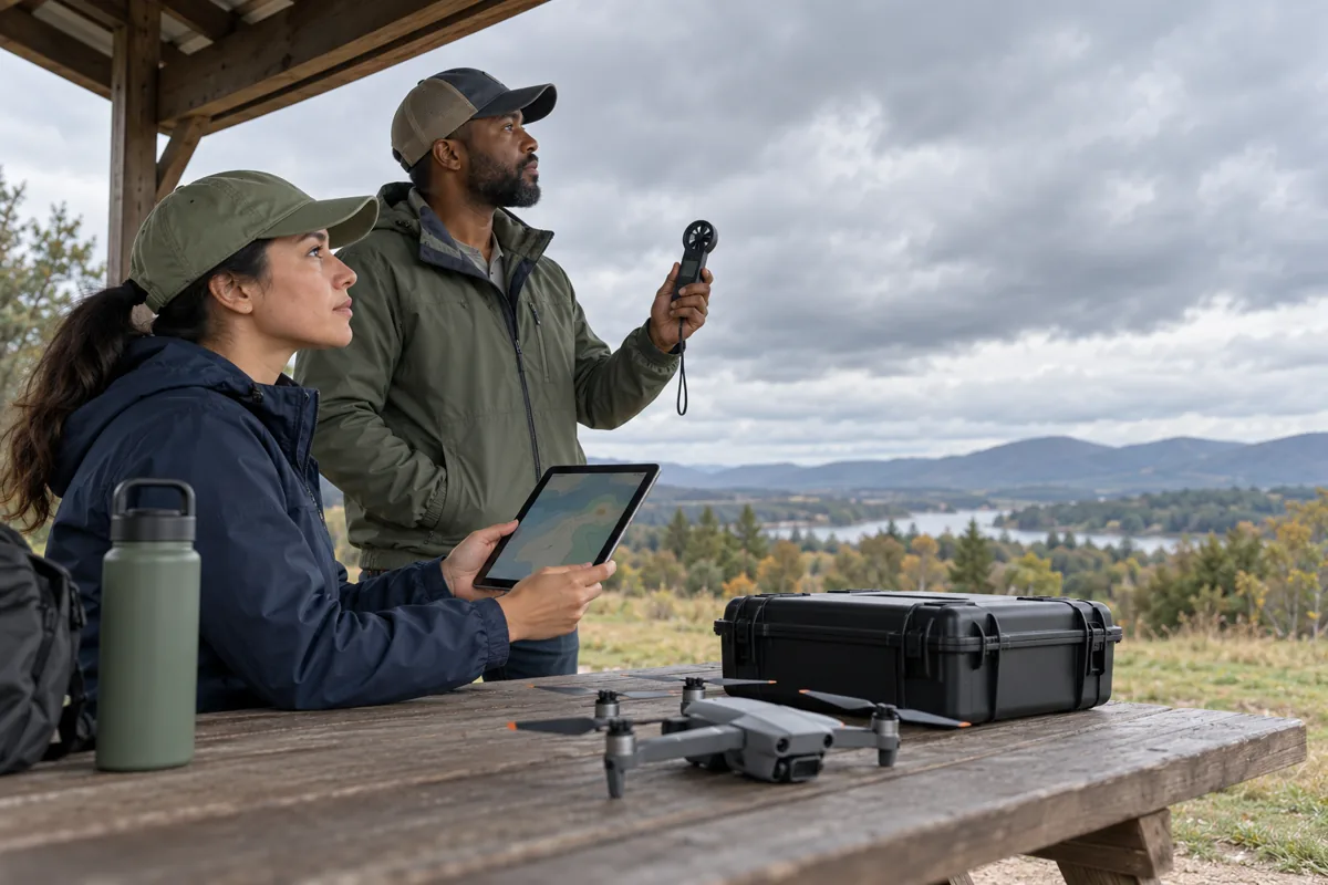
- Identify common aviation weather products
- Connect weather to drone performance
- Recognize conditions that require delay or cancellation
Weather observations and forecasts
A METAR is a routine coded report of observed weather at an airport. It can include wind, visibility, weather phenomena, cloud coverage, temperature, dew point, and altimeter setting. A SPECI is issued when important conditions change between routine observations.
A TAF is a forecast for conditions near a terminal over a stated period. Forecasts are not guarantees. Compare multiple sources, observe local conditions, and build conservative personal limits.
Wind, stability, and terrain
Surface wind can be very different from wind above rooftops or ridges. Buildings create mechanical turbulence, rotors, and gusts. Hills and valleys can channel or accelerate wind. Plan the outbound leg so the aircraft has sufficient battery to return against the wind.
Stable air is often smoother but may trap haze and poor visibility. Unstable air supports vertical motion, turbulence, gusty winds, and showery precipitation. A front can bring rapid changes in wind direction, pressure, cloud cover, and precipitation.
Temperature, moisture, and storms
When temperature and dew point move closer together, the air approaches saturation, increasing the likelihood of fog or low clouds. High temperature, high elevation, and humidity contribute to higher density altitude, which reduces lift and propeller performance.
Thunderstorms can produce violent turbulence, wind shear, lightning, hail, heavy precipitation, and rapidly changing winds well outside visible rain. Small UAS should remain far from thunderstorms; do not try to race an approaching cell.
Incomplete
Pass the knowledge check to complete this lesson.6Loading and performance
Weight, center of gravity, batteries, payloads, endurance, and manufacturer limits.Locked — complete previous lessons
Loading and performance
Weight, center of gravity, batteries, payloads, endurance, and manufacturer limits.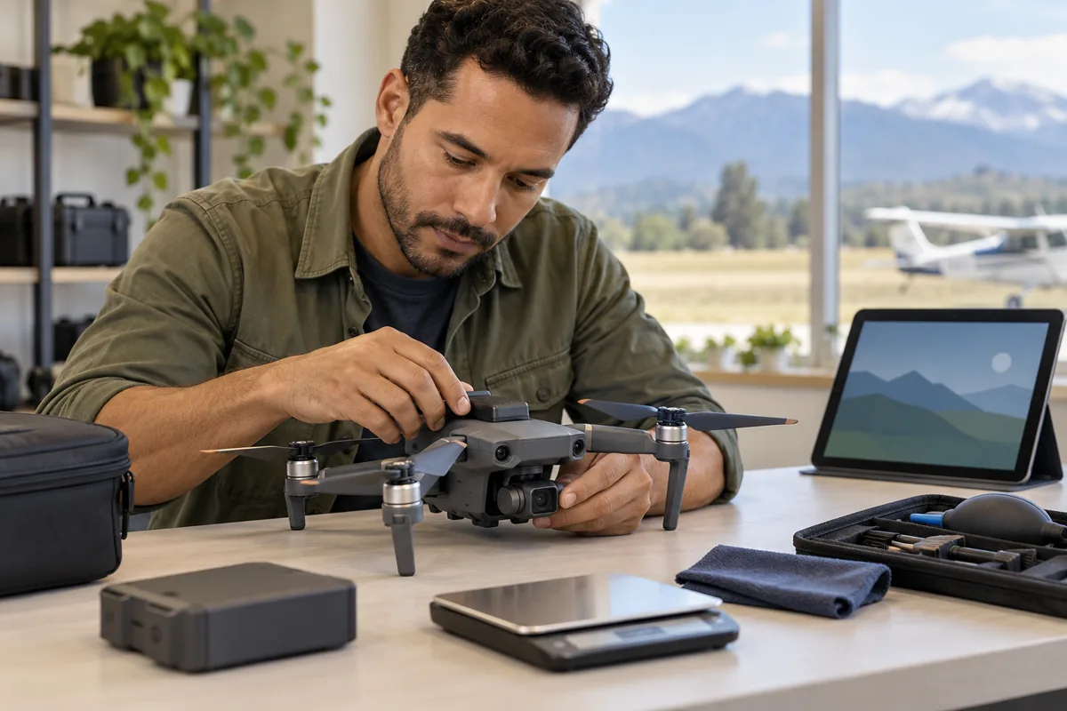
- Predict how payload changes performance
- Recognize battery hazards
- Plan a conservative energy reserve
Weight and balance
Everything attached to or carried by the aircraft counts toward takeoff weight. Added payload generally increases power demand, reduces climb and maneuver performance, changes stopping distance, and shortens flight time.
Center of gravity is the point at which the aircraft balances. A payload mounted too far from the intended location can create instability or exceed control authority. Follow the aircraft and payload manufacturer's weight, mounting, and balance limitations.
Battery behavior
Lithium batteries can be damaged by impact, puncture, swelling, overheating, overcharging, deep discharge, or poor storage. A swollen, leaking, unusually hot, or physically damaged battery should be removed from service and handled using appropriate safety procedures.
Cold temperatures can reduce available power and cause voltage sag. Heat increases stress and fire risk. Batteries may perform differently under heavy payload, aggressive maneuvering, or strong wind, so displayed percentage alone should not be treated as a guarantee.
Performance planning
Estimate the mission duration, wind effect, climb needs, payload, temperature, and an emergency reserve before launch. Plan a return point that leaves enough energy for a headwind, a go-around, unexpected people, or a change of landing area.
The remote PIC—not the manufacturer, client, or app—is responsible for determining whether the complete small UAS is in a condition for safe operation.
Incomplete
Pass the knowledge check to complete this lesson.7Airport and crew operations
Traffic patterns, runway awareness, visual observers, communication, and crew coordination.Locked — complete previous lessons
Airport and crew operations
Traffic patterns, runway awareness, visual observers, communication, and crew coordination.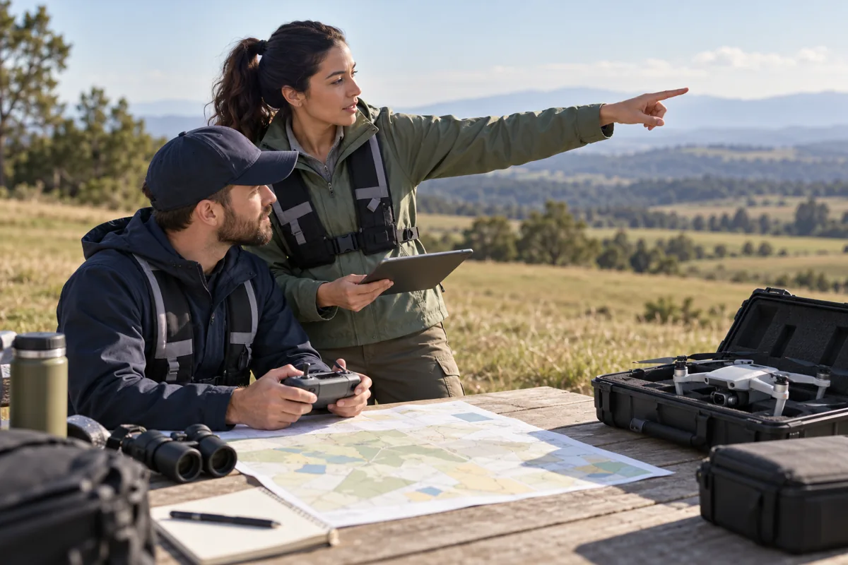
- Recognize airport traffic hazards
- Assign clear crew roles
- Use effective hazard communication
Understanding airport traffic
Piloted aircraft commonly enter a rectangular traffic pattern with upwind, crosswind, downwind, base, and final legs. Standard patterns use left turns unless publications or visual indicators specify right traffic.
Aircraft may be low, fast, and difficult to hear until close. Helicopters, agricultural aircraft, gliders, ultralights, and emergency aircraft may operate outside the pattern you expect. Never hover near runway approaches or departures.
Visual observers
A visual observer helps maintain awareness of the drone, other aircraft, people, obstacles, and changing conditions. The observer and remote PIC must maintain effective communication throughout the operation.
The visual observer does not replace the remote PIC, grant airspace authorization, or allow unlimited beyond-visual-line-of-sight flight. The remote PIC remains responsible for the operation.
Crew resource management
Before launch, identify the remote PIC, person manipulating the controls, visual observers, and anyone responsible for the operating area. Brief the route, altitude, boundaries, handoff procedure, hazards, emergency landing locations, lost-link behavior, and exact words that require an immediate stop.
Crew members should be encouraged to report hazards immediately without worrying about hierarchy or embarrassment. Clear, short phrases such as “Aircraft, north, low” are more useful than vague conversation.
Incomplete
Pass the knowledge check to complete this lesson.8Aeronautical decision-making
Risk management, hazardous attitudes, fitness, alcohol, medication, and external pressure.Locked — complete previous lessons
Aeronautical decision-making
Risk management, hazardous attitudes, fitness, alcohol, medication, and external pressure.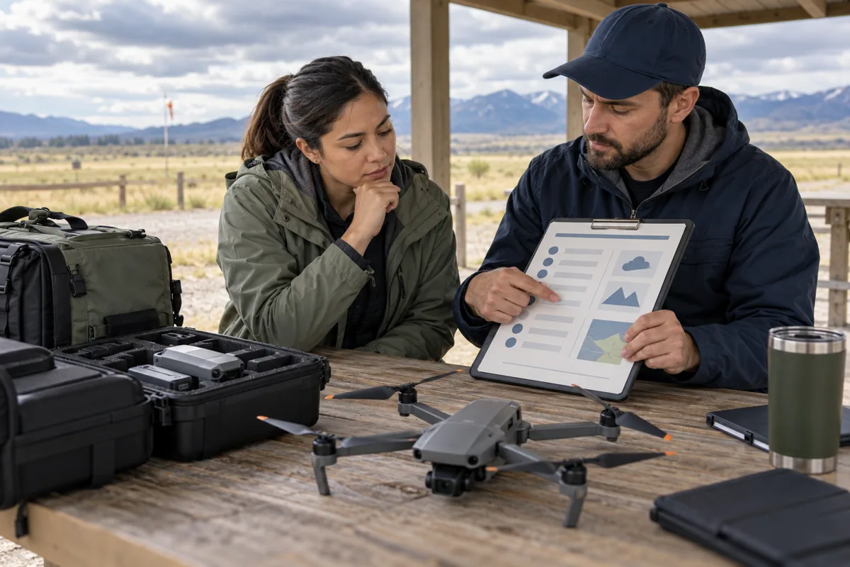
- Apply a preflight risk process
- Recognize impaired decision-making
- Counter common hazardous attitudes
A repeatable risk process
Good decisions begin before arriving at the site. Identify hazards involving the pilot, aircraft, environment, and mission. Estimate likelihood and severity, add controls, and decide whether the remaining risk is acceptable.
Personal minimums should be more conservative than legal maximums when experience is limited. A flight can be legal but still unwise because of wind, crowds, poor launch space, fatigue, sun glare, weak GPS, or pressure from a customer.
Pilot fitness
IMSAFE is a quick check for Illness, Medication, Stress, Alcohol, Fatigue, and Emotion or Eating. Medication can impair performance even when prescribed or sold over the counter; evaluate its effects before acting as crew.
A person may not serve as remote PIC, visual observer, or manipulate the controls within eight hours after drinking alcohol, while under its influence, or with a blood alcohol concentration of .04 or greater. Legal compliance is only the minimum—any impairment should stop the flight.
Hazardous attitudes and pressure
Five classic hazardous attitudes are anti-authority, impulsivity, invulnerability, macho, and resignation. Counter them with deliberate thoughts: follow the rules, slow down, it could happen to me, taking chances is foolish, and I can make a difference.
External pressure from schedules, money, a client, fading light, or a long drive can push a pilot toward unsafe continuation. Decide cancellation limits before the mission and communicate them to the client early.
Incomplete
Pass the knowledge check to complete this lesson.9Emergencies and maintenance
Preflight inspection, lost link, flyaways, battery events, emergency authority, and reporting.Locked — complete previous lessons
Emergencies and maintenance
Preflight inspection, lost link, flyaways, battery events, emergency authority, and reporting.
- Conduct a system-based preflight
- Prepare for common failures
- Know when FAA reporting may be required
Preflight inspection
Inspect the aircraft structure, propellers, motors, fasteners, landing gear, payload attachment, batteries, controller, antennas, firmware status, navigation sources, and control response. Verify required registration and Remote ID status when applicable.
Inspect the operating area for people, traffic, power lines, towers, cranes, animals, terrain, reflective surfaces, electromagnetic interference, and emergency landing zones. Confirm weather and airspace immediately before flight.
Plan the failure before takeoff
Know exactly what the aircraft will do after command-and-control loss. A return-to-home altitude that is too low may strike an obstacle; one that is too high may create an airspace or battery problem. Confirm the home point and test settings in a safe location.
Plan responses for low battery, GPS degradation, compass errors, motor failure, flyaway, unexpected aircraft, people entering the area, and battery fire. The first priority is preventing injury—not saving the drone or finishing the mission.
Emergency authority and reports
During an in-flight emergency requiring immediate action, the remote PIC may deviate from a Part 107 rule to the extent necessary to respond. The FAA may request a written report explaining the deviation.
An accident must generally be reported to the FAA within 10 days when it causes serious injury or loss of consciousness, or qualifying property damage other than damage to the drone itself. Preserve facts and use current FAA guidance to determine whether reporting is required.
Incomplete
Pass the knowledge check to complete this lesson.10Night, people and Remote ID
Night lighting, updated training, operations over people and vehicles, and Remote ID compliance.Locked — complete previous lessons
Night, people and Remote ID
Night lighting, updated training, operations over people and vehicles, and Remote ID compliance.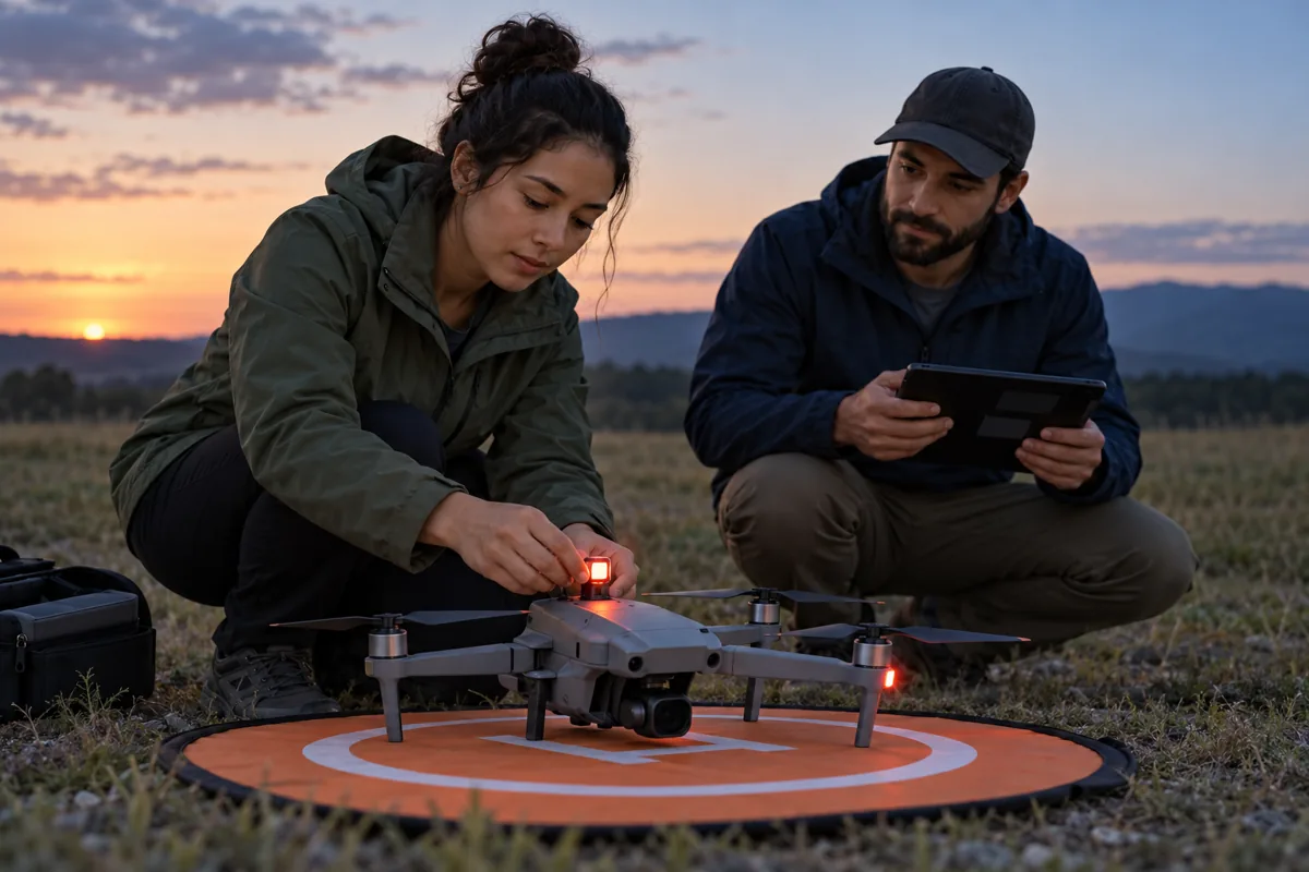
- Prepare a lawful night operation
- Recognize over-people limitations
- Explain the purpose and methods of Remote ID
Night operations
Routine night operation under Part 107 requires the applicable updated knowledge test or recurrent training and anti-collision lighting visible for at least 3 statute miles with a flash rate sufficient to avoid a collision. The remote PIC may reduce light intensity when operating conditions make that necessary for safety.
Night vision is affected by bright screens, lights, fatigue, and the eye's adjustment time. Survey obstacles in daylight when practical, dim displays, preserve night adaptation, and remember that distance and closure rate are harder to judge. Controlled-airspace authorization is still required when applicable.
Operations over people and moving vehicles
Passing the UAG test does not automatically permit every operation over people. The aircraft and operation must satisfy one of the applicable FAA categories and all conditions for that category. Some categories depend on aircraft weight, injury limits, exposed rotating parts, declarations of compliance, or Remote ID.
Operations over moving vehicles are also limited. A brief transition may be treated differently from sustained flight. Plan routes that minimize time over people and traffic, and verify the current rule before the mission.
Remote Identification
Remote ID broadcasts identification and location information about a drone in flight and functions like a digital license plate. Registered drones generally must comply unless an exception applies.
Common compliance paths include operating a Standard Remote ID drone, attaching a compliant broadcast module while maintaining visual line of sight, or operating within visual line of sight at an FAA-recognized identification area. Registration information must correctly reflect the Remote ID device. Remote ID does not replace airspace authorization, registration markings, or the remote pilot certificate.
Incomplete
Pass the knowledge check to complete this lesson.TIMED EXAM CENTER
Three full Part 107 practice exams
Each exam follows the official 60-question, two-hour format and uses the 70% passing benchmark. These are original LifeHelper questions—not questions copied from the FAA exam.
60 questions · 2 hours · passing benchmark 70% · missed-answer review
60 questions · 2 hours · passing benchmark 70% · missed-answer review
60 questions · 2 hours · passing benchmark 70% · missed-answer review
OFFICIAL FAA RESOURCES
Study from the source
FAA rules, testing references, airspace restrictions, and operating requirements can change. Use current FAA publications before testing or flying.
EDUCATIONAL EXAM PREPARATION
Practice—not FAA approval.
LifeHelper Tips is not affiliated with or endorsed by the FAA and does not administer the official knowledge test or issue a Remote Pilot Certificate. Practice questions are original educational material based on public FAA topics. Always consult current FAA rules and publications.